Custom software solutions for geo-information technology tasks and registration systems, and provides professional services for the development of cartographic and surveying programs, web sites and applications, their technical support. The professional team of developers will reduce the time to perform the development of new software products or the adaptation of existing customer's needs.
20 years we make solutions in the field of geospatial technologies
Custom software for mapping, surveying and telematic solutions
Services in the collection, processing and analysis of spatial data
Consulting
Flexibility and scalability
Integration with ready-made solutions and services
The ability to export and import data
Updating and supporting developed solutions
A lot of ready-made solutions
Operational support
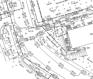
Consulting, development and support software for performance of geodetic, engineering, cadastre and mapping and navigation.
We developed a number of web-based solutions, allows you to integrate corporate offices and create online resources.
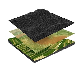
We offer services for the collection, processing, analysis of geospatial information and its storage and visualization of geo-information portal on the company.
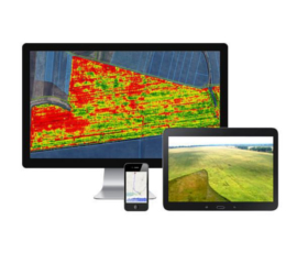
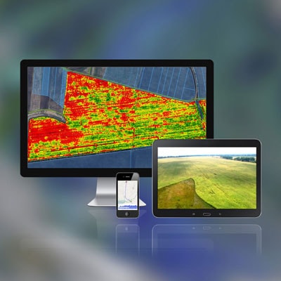
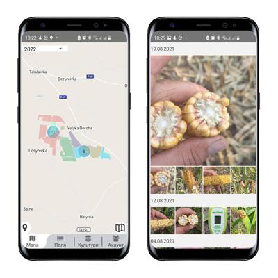
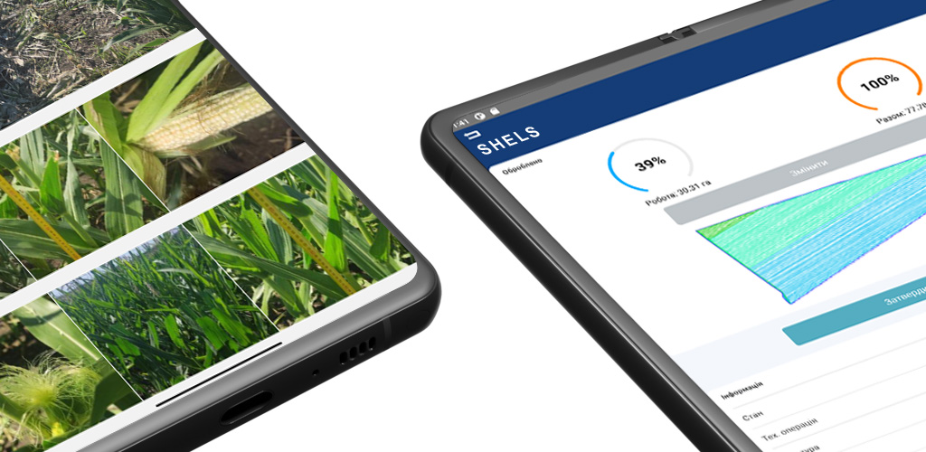
Corporate server solutions for digital agriculture. IoT solutions, GPS navigation, NDVI maps, Web and Apps
In coordination with your requests we use different software and libraries:
Java - Server solutions
Node.js - Server solutions and scripts
Html & CSS - Web solutions
Leaflet.js & MapBox - Interactive maps
React Native - Android and iOS applications
Python - Scripts for processing maps
OpenCV - AI digitalisation images
Delphi - Workstation solutions
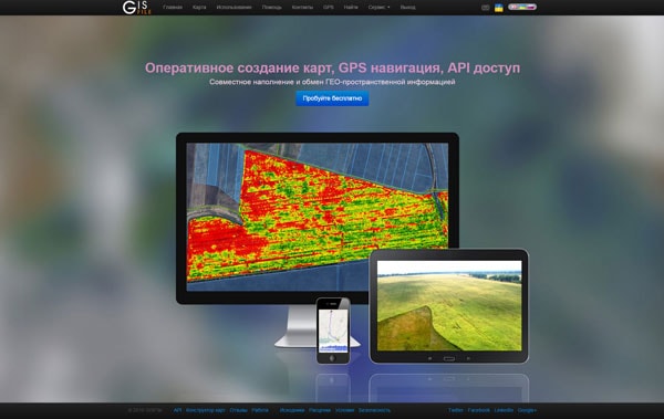
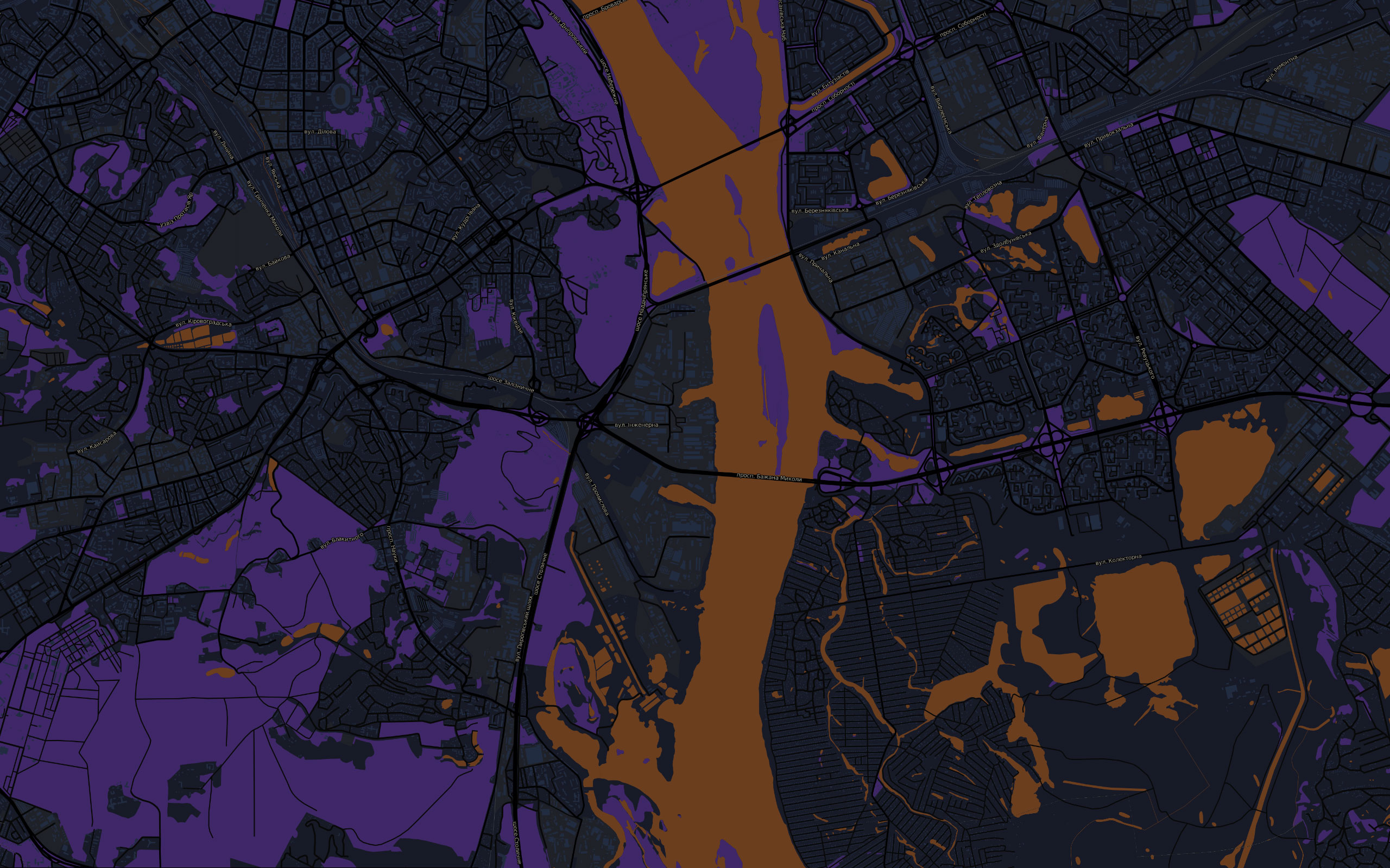
Mapping service that provides the ability to quickly create maps, jointly edit and share layers with other users.
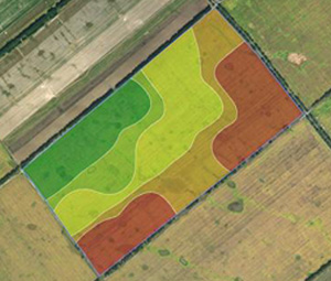
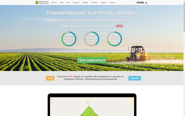
Field works planning, integration with weather forecasting systems and weather stations. Inspection & monitoring of the crop condition based on satellite images.
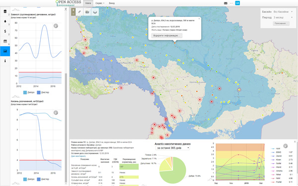
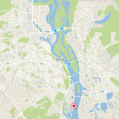
The public Web site for monitoring the state of water and air quality with analytical tools for compare the indicators of quality, cost and finance.
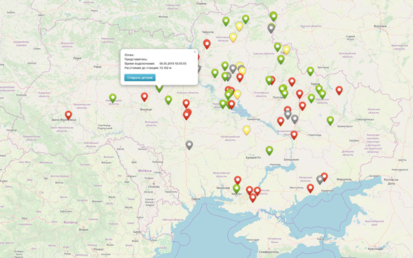
The REST API to monitor technique with RTK-signal and to get the routes of movement was developed.
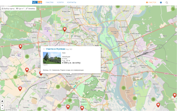
Developed an interactive map to display the location of the land, and their detailed description of the purpose of sale.
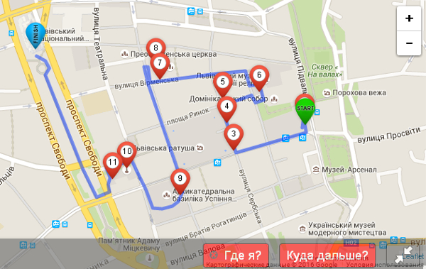
Maps of tourist routes to organize tours around Lviv in the form of quests. The map shows routes, interesting places, riddles and tasks for the tourist.